How Did The Ozark Mountains Form?
Known as the Ozark Plateau, the Ozark Mountains are a densely forested group of south-central Missouri highlands extending southwestward from St. Louis to the Arkansas River. The region is primarily located in Southern Missouri and Northern Arkansas. Springfield Plateau, Boston Mountains, Salem Plateau, and St. Francois Mountains are the four smaller regions of the Ozarks.
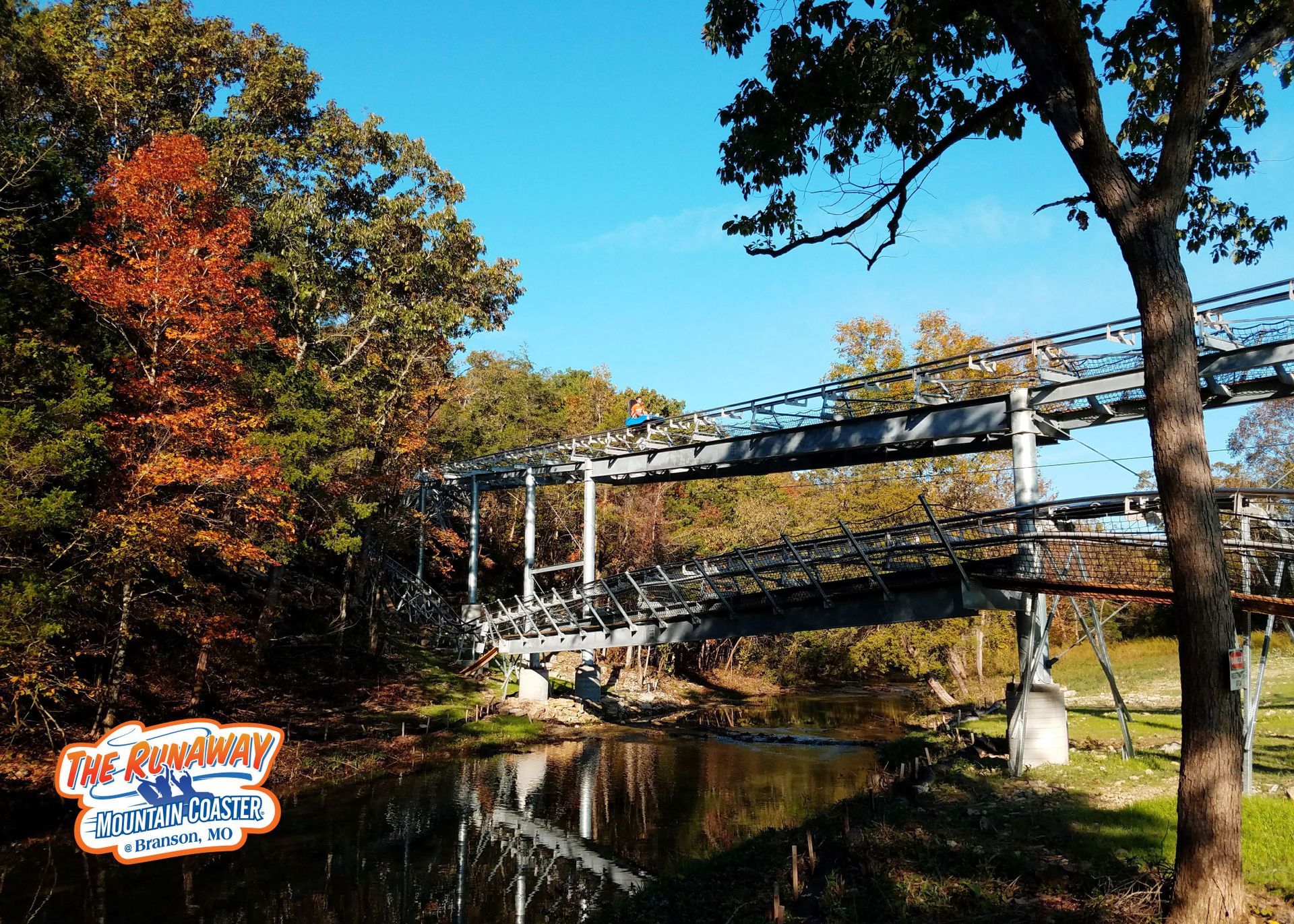
The region has a relatively mild climate, clean mountain air, and pristine lakes and rivers. The Ozark Mountains in Branson are home to the Branson Mountain Coaster, one of the area's newest ride attractions.
The region is defined in geologic and geographic terms. According to this, the Interior Highlands covers the Ozarks Mountains. The Interior Highlands is a mountainous region that stretches across Oklahoma, Arkansas, Missouri, and a sliver of Kansas. It is the only significant highland area between the Appalachian and the Rocky Mountains. The Ozarks have three major divisions: The Ouachita Mountains, the Arkansas Valley, and the Ozark Uplift.
The Ozarks cover a large area of pristine land in the United States and have existed for longer than the country itself. Within this unique region, you'll find forests, looming mountains, underground caves, and more. The area has been featured in pop culture on several occasions, with the somewhat remote, secluded nature of the destination playing a role.
Ozark Mountains is a great place to stay if you want to experience the Ozarks while having access to a thrilling Branson roller coaster– The Runaway Mountain Coaster. If you're going to get some information on what to do in the area, check out the Ozark Mountains Vacation Guide. The guide is jam-packed with local recommendations for everything Ozark Mountains offer, from breathtaking natural wonders to annual festivals and everything in between.
The Ozark Mountains are the most rugged terrain between the Appalachians and the Rockies. The Boston Mountains in Northwest Arkansas have some of the highest peaks in the Ozark Mountains, with many exceeding 2,000 feet.
The Ozark National Forest contains some of these mountains, including the tallest mountain in Arkansas. Beyond the mountains, the forest encompasses over a million acres and includes the Blanchard Springs Caverns and 300 miles of hiking trails. Several other state parks dot the Ozarks, preserving the region's natural beauty while making it accessible to visitors.
The Ozark Mountains are also known as the Ozarks, Ozark Highlands, Ozark Dome, Ozark Mountains, and the Ozark Plateau. All these names refer to the exact location. The Ozarks cover approximately 45,000 square miles, roughly the size of the state of Ohio.
It encompasses much of northern Arkansas and southern Missouri and extends to northeast Oklahoma and the southeast corner of Kansas. Although the Ozarks borders blend into the surrounding countryside, the Ozarks Mountains are roughly bounded to the north by the Missouri River, and Mississippi River to the east, Arkansas River to the south, and the west by the Arkansas, Neosho, and Osage rivers.
The Ozarks formed uniquely. They are the result of erosion rather than folding and faulting. The Ozark Uplift results from orogeny uplift, and the strata layers are mostly horizontal. The Ozark Dome is so named because it is an asymmetrical uplift of the Earth's crust with its apex in the St. Francois Mountains of southeastern Missouri.
Despite their low elevation, the St. Francois Mountains are the only true mountains in the Ozarks. The St. Francois Mountains were formed nearly 1.5 billion years ago by volcanic and intrusive activity and are the eroded remnants of an ancient range that includes the geological core of the Ozark Dome.
The Ozarks area was alternately land and sea between the formation of the St. Francois Mountains, as the record showed. This means that the St. Francois Mountains were once an island in the ancient seas. During most of this time, the Ozarks looked more like the Florida Everglades than they do today.
Mud and clay formed shale; sand began sandstone; gravel formed conglomerate; sea organism remains precipitated calcium and magnesium carbonates, including limestone and dolomite, respectively. The rich limestone and shale deposits in the Ozarks result from ancient sea life living and dying in the prehistoric seas that covered much of the Earth. This explains why fossils are so common in the Ozarks. Exposed limestone bluffs, such as those that line many of our lakes and rivers, are excellent for fossil hunting.
The Ozarks have been eroding since their initial uplift. The Ozarks have been extensively dissected by streams and river valleys, carving into the once-flat plateau and cutting through the uplifted area. The areas between these streams are frequently so vast that travelers mistakenly believe they are traveling on flat terrain. Rivers have eroded the land in other regions, carving deep gorges and breathtaking valleys into the landscape. This means the Ozarks are an ancient eroded plateau rather than a mountain range.
With its mild climate, clean mountain air, and pristine lakes and rivers, the Ozark Mountains are an excellent destination for tourists looking to enjoy one of the area's newest attractions, the Branson mountain coaster.


 by
by