Getting Around Branson
Because there are no public transportation options connecting all of the top attractions with local restaurants and accommodations, driving is the best way to get around Branson.
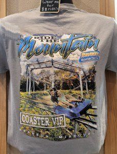
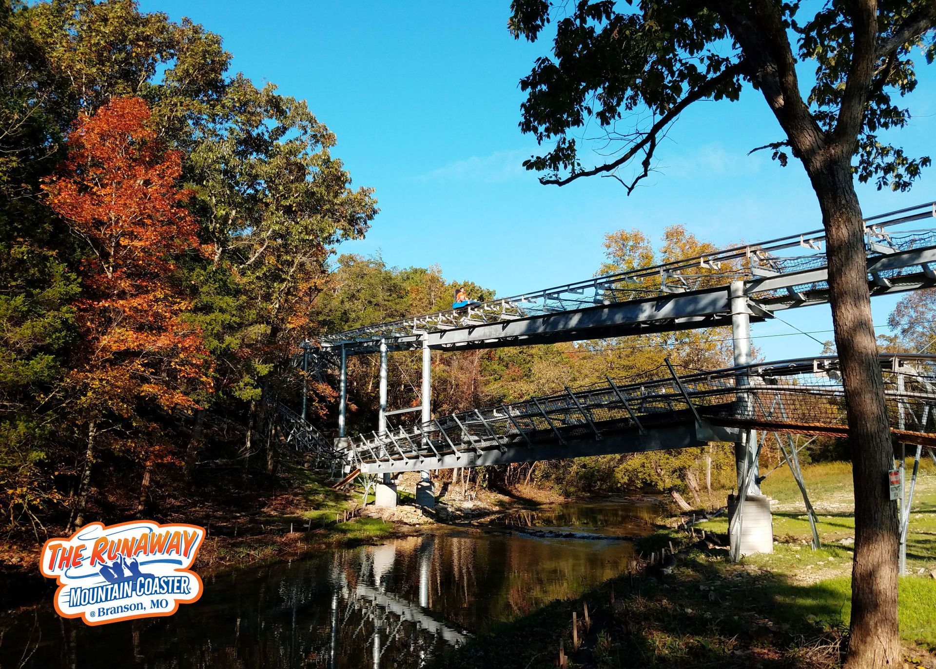
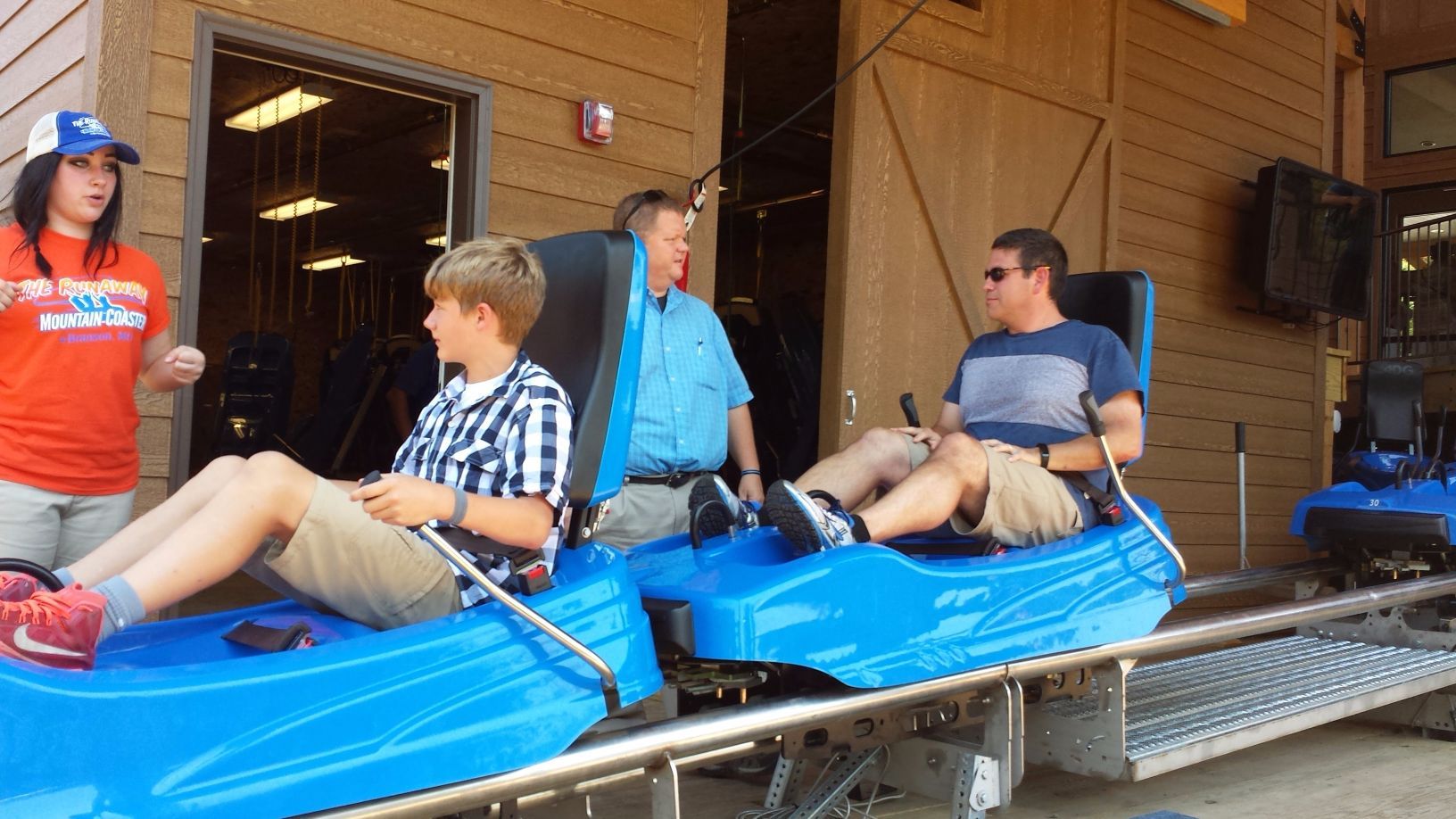
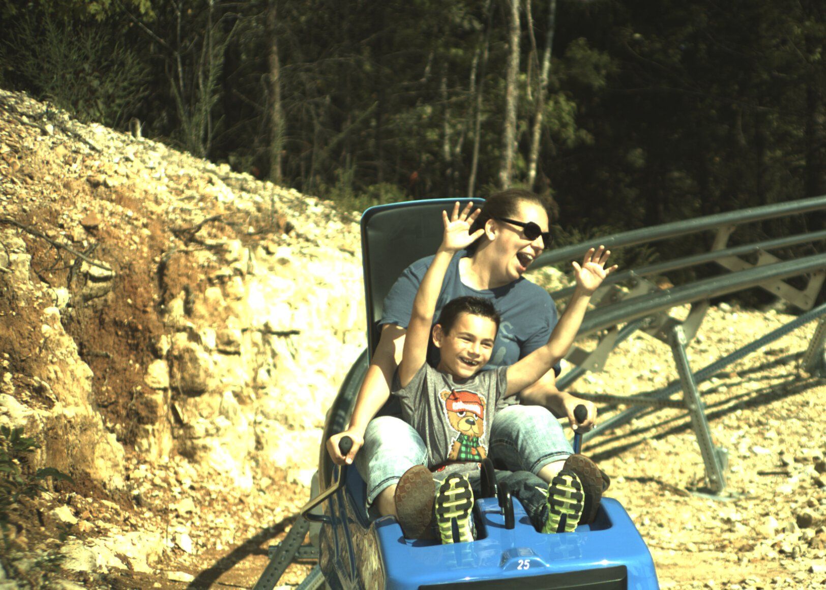
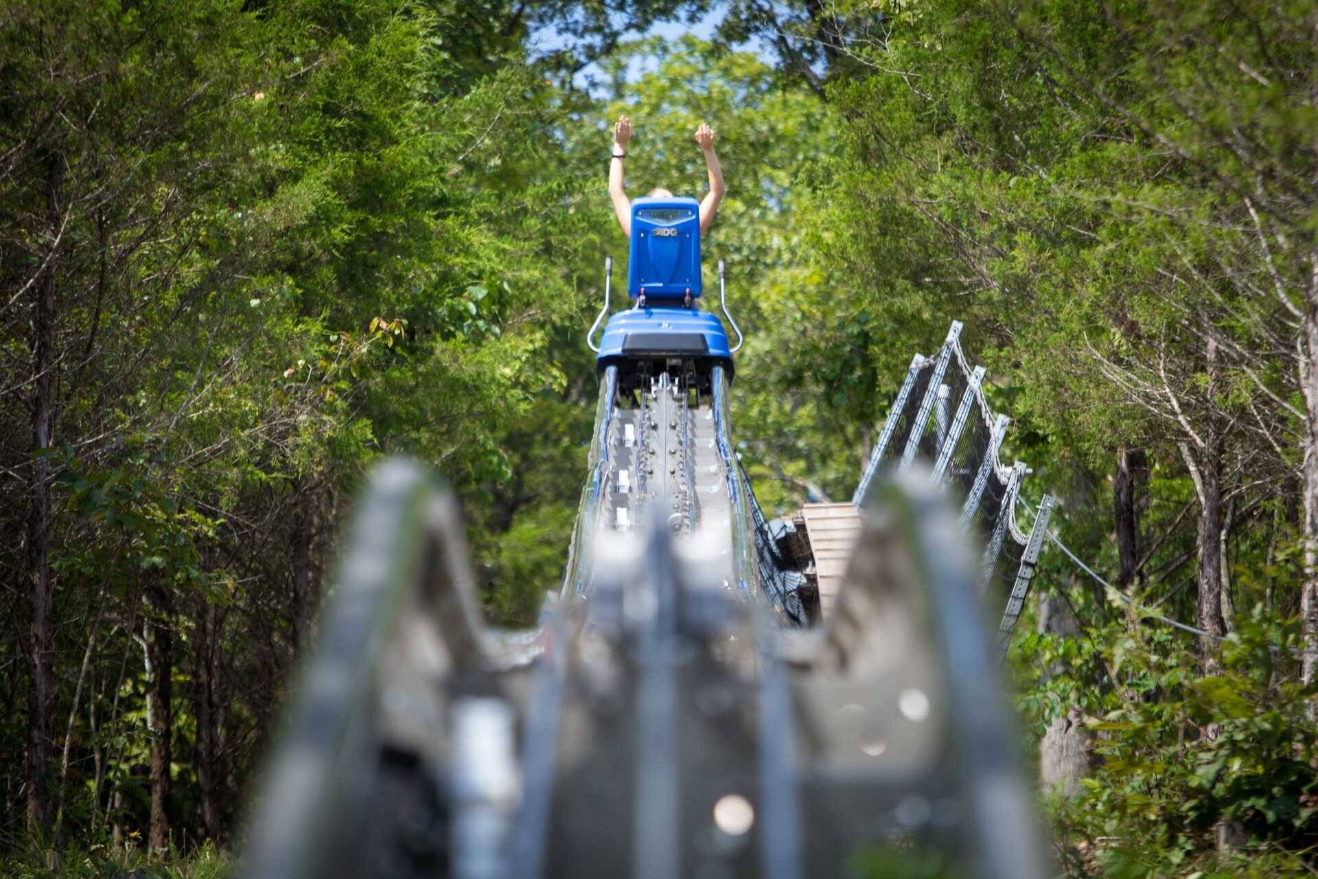
A free trolley connects downtown Branson to Branson Landing, but due to its limited reach and seasonal hours, visitors will need to rely on their own transportation in Branson. A thrilling adventure ride on the Branson mountain coaster is an exciting way to get around Branson.
Without extensive public transportation, driving a car is the most convenient way to get around Branson. Parking is plentiful, and traffic, aside from the Branson Strip, should be minimal. Many rental car companies are represented at all three airports serving the Branson area.
When visiting historic downtown Branson and Branson Landing, the trolley is the second-best way to get around. The trolley is a free and enjoyable option that makes 14 stops on a 20- to 30-minute loop. The trolley runs every day from March to December from 10 a.m. to 6 p.m., except on Thanksgiving and Christmas. It opens from 10 a.m. to 5 p.m. during the weeks of January and February.
Travelers arriving by plane can land at Branson Airport (BKG), located about 10 miles south of Branson. The airport has three different car rental agencies on-site. Traditional taxis, limos, vans, and ride-hailing services such as Uber and Lyft are also available to transport passengers from the airport to Branson. The Springfield-Branson National Airport (SGF) is roughly52 miles north of Branson.
Travelers coming to Branson will find cheaper airfares if they fly into larger airports such as Kansas City International Airport (MCI) and Lambert-St Louis International Airport (STL). Still, the drive to Branson will take approximately two to three hours longer than it does from Springfield.
Though Springfield airport does not provide shuttles to Branson, some accommodations may provide transportation; you can check with your hotel to see if it allows transport.
Getting around can be very simple for getting to shows, attractions, lodging, and shopping, or maybe you want to experience a thrilling ride on the Branson mountain coaster. Here are some suggestions to consider:
Plan With a Map
In today's world of GPS and Google maps, that might seem like futuristic advice, but if it's your first-time visit to Branson, whether you do depend on maps online or by looking at the map in your hand, plan using a map of the route to your initial Branson destination point. You can find many maps available in many hotels but look for the map that features Alternate Colored Routes, which some online map services do not show.
You can view the online map of the Branson Tourism Center, which can be downloaded and printed in PDF format. When you want to know where you want to go in Branson, follow the map as you plan each day, and you will be able to get there safely and efficiently.
When you use Branson's system of three alternate colored routes, it makes it easier for you to get around Branson, and it will provide you with an alternate way to Highway 76. The three routes are the "Blue", "Red", and "Yellow", all of which are overlaid on existing highways and roads and generally run parallel to Highway 76 and are east/west routes.
Familiarizing these colored routes and the north-south connector roads will help you get just about anywhere in Branson with more convenience and, on most days, not getting involved with traffic congestion.
Drive on Highway 76 with zeal.
Hey, it's the "Branson Strip," and you'll want to see it and travel on it, but use a map to plan to drive on an Alternate Colored Route and their north-south connectors whenever possible, especially during high traffic times. Highway 76 is almost always congested in the evening between 5:30 p.m. and 7:00 p.m. and 8:00 p.m. when people are attempting to eat and get to shows, and on Sunday between 9:30 a.m. and 1:00 p.m. when people are attempting to leave Branson.
When leaving Branson, take the "Red Route" as close to its western junction with Highway 76 as possible, and take it east until it meets Highway 65, where you can exit north or south. This is also a great alternative to Highway 76 for getting to and from Branson Landing; continue east on the Red Route past Highway 65 to the Roundabout, then enter the Landing.
If traffic is terrible when leaving Branson, another option is to take Highway 165 east, over Table Rock Dam, to its junction with Highway 65 in Hollister, and then go north or south. It may be longer, but it can save you time and frustration.
After touring Branson, including a thrilling adventure ride on the Branson Mountain Coaster.


 by
by